Ortho Earth · Get started · npm
MapLibre GL JS examples, on ortho
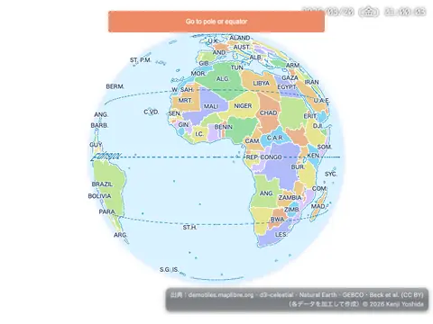
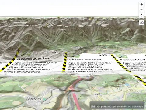
The 139 official MapLibre GL JS examples, run unchanged against the ortho globe engine through its MapLibre-compatible API. Each card shows ortho's rendering and, after the category, how closely it matches MapLibre (answers and sampled pixels). Click a card for the example's source in its ortho form — run it here, copy it, or download it.
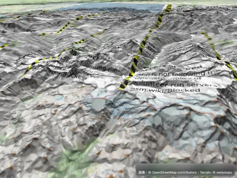
Add 3D terrain from quantized-mesh tiles
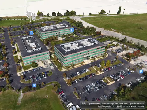
Add 3D tiles using three.js
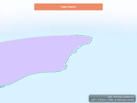
Add a 3D model to globe using three.js
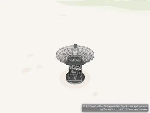
Add a 3D model using three.js
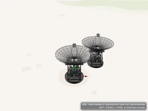
Add a 3D model with babylon.js
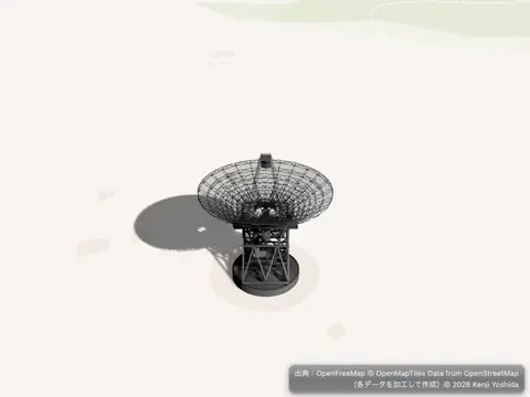
Add a 3D model with shadow using three.js
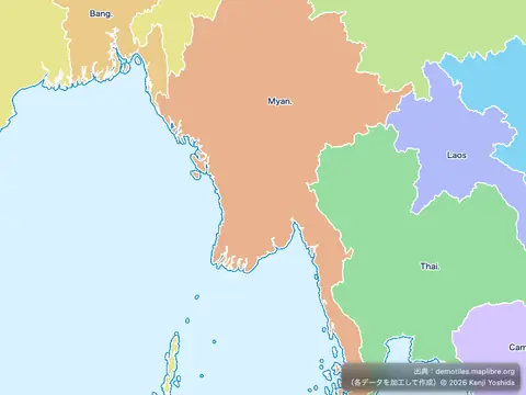
Add a canvas source
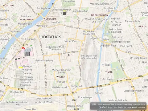
Add a COG raster source
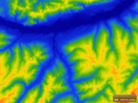
Add a color relief layer
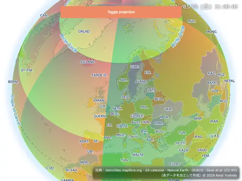
Add a custom layer with tiles to a globe
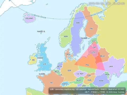
Add a custom style layer
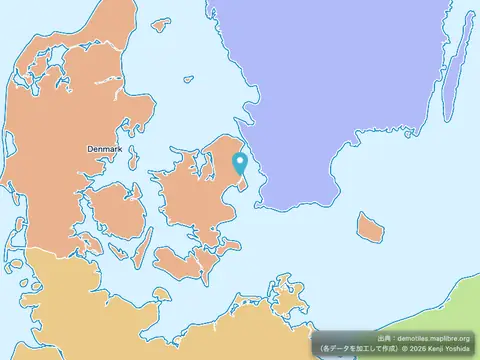
Add a default marker
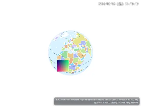
Add a generated icon to the map
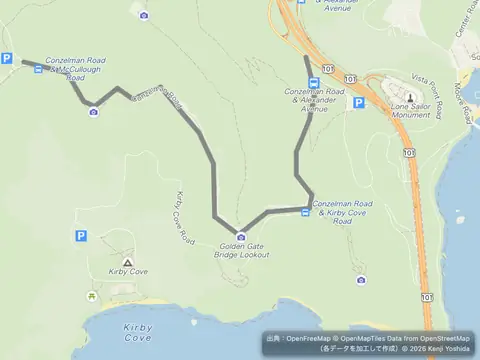
Add a GeoJSON line
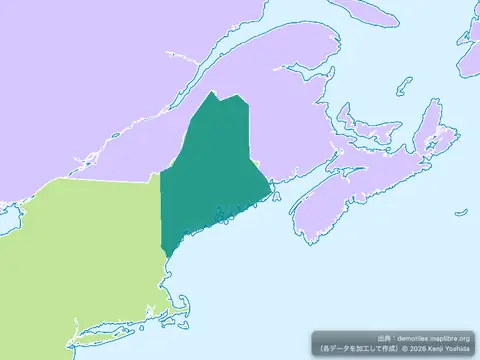
Add a GeoJSON polygon
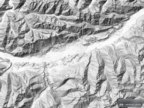
Add a hillshade layer
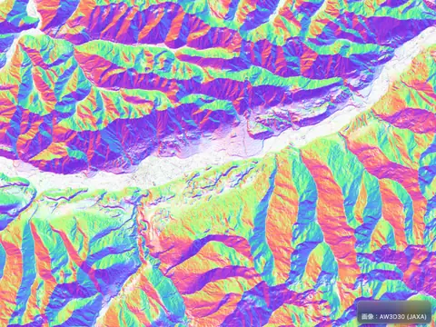
Add a multidirectional hillshade layer
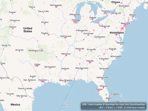
Add a new layer below labels
Add a pattern to a polygon
Add a raster tile source
Add a simple custom layer on a globe
Add a stretchable image to the map
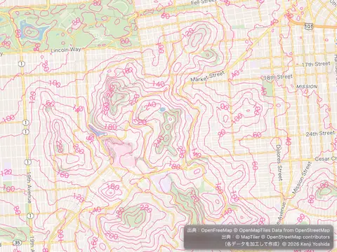
Add a vector tile source
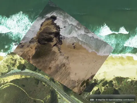
Add a video
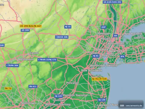
Add a WMS source
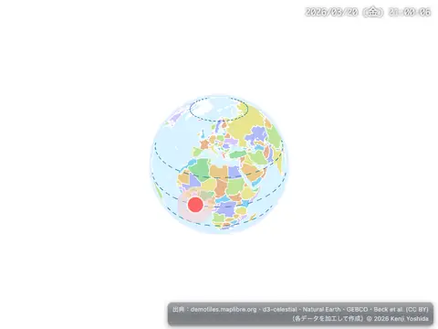
Add an animated icon to the map
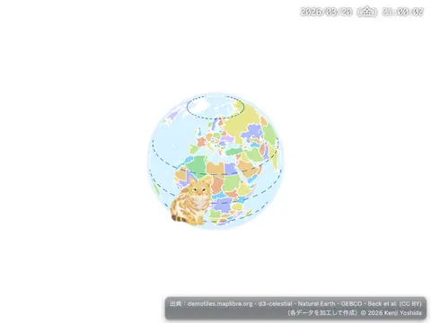
Add an icon to the map
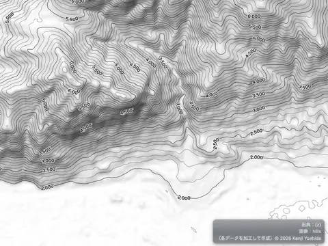
Add Contour Lines
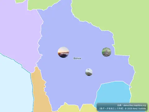
Add custom icons with Markers
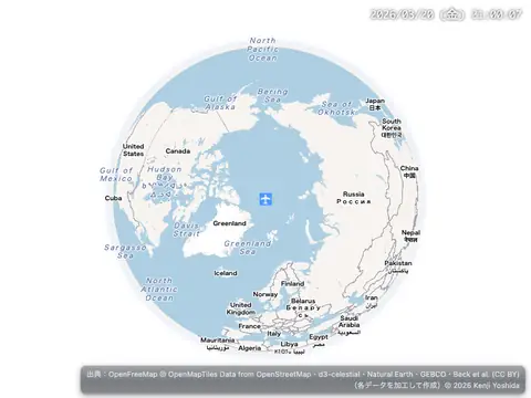
Add live realtime data
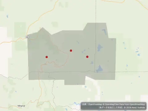
Add multiple geometries from one GeoJSON source
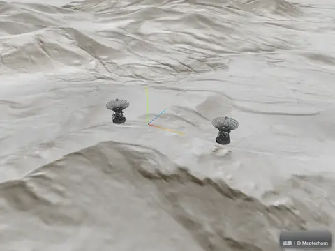
Adding 3D models using three.js on terrain
Animate a line
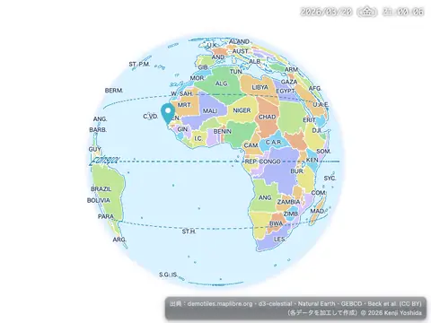
Animate a marker
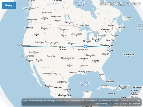
Animate a point along a route
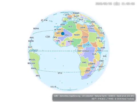
Animate a point
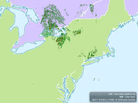
Animate a series of images
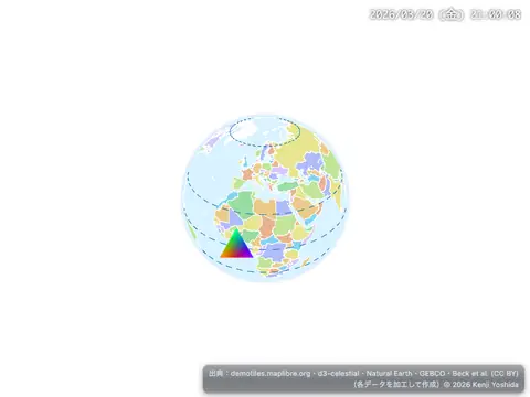
Animate an icon on the GPU
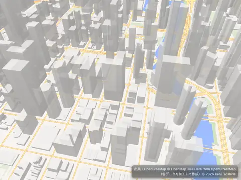
Animate map camera around a point
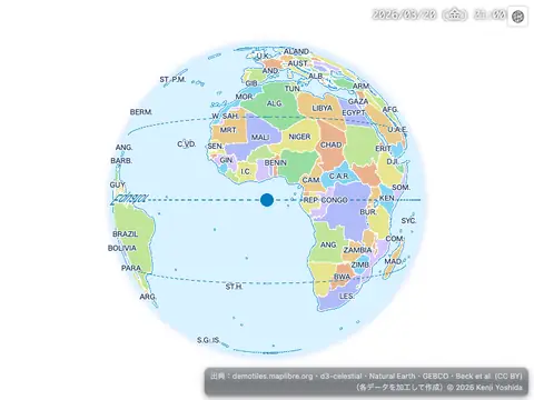
Animate symbol to follow the mouse
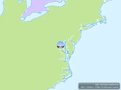
Attach a popup to a marker instance
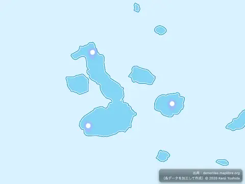
Center the map on a clicked symbol
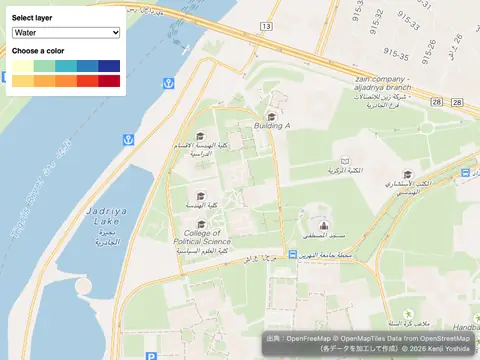
Change a layer's color with buttons
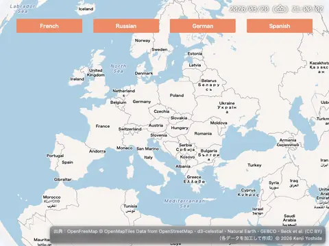
Change a map's language
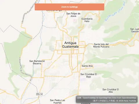
Change building color based on zoom level
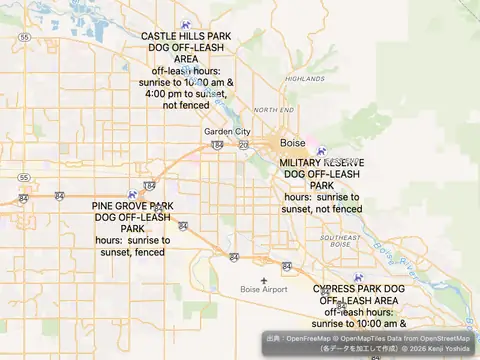
Change the case of labels
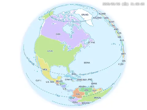
Change the default position for attribution
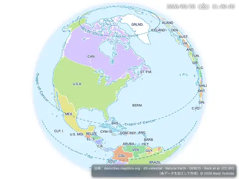
Check if WebGL is supported
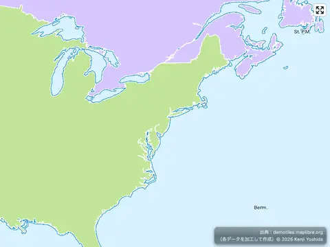
Cooperative gestures
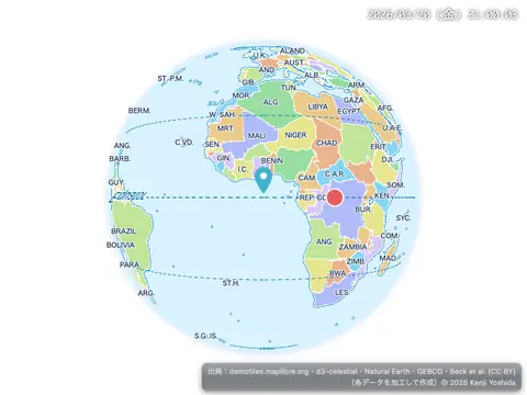
Create a draggable Marker
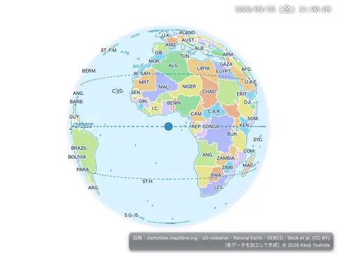
Create a draggable point
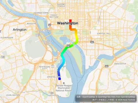
Create a gradient dashed line using an expression
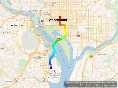
Create a gradient line using an expression
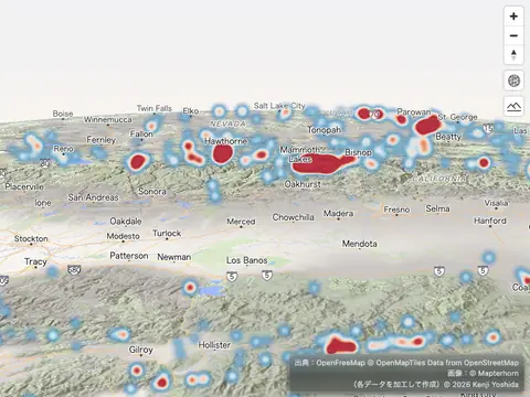
Create a Heatmap layer on a globe with terrain elevation
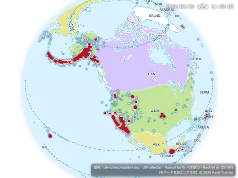
Create a heatmap layer
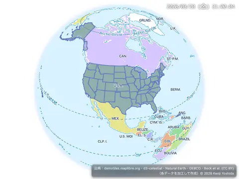
Create a hover effect
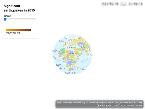
Create a time slider
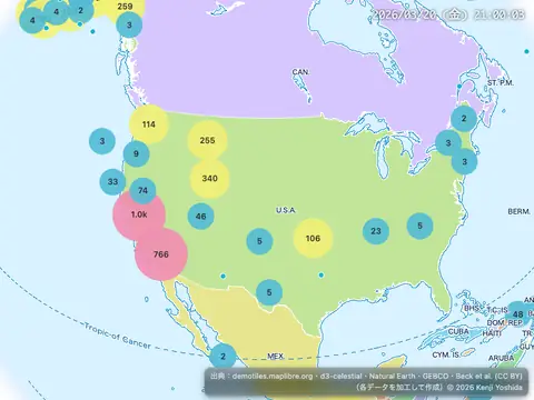
Create and style clusters
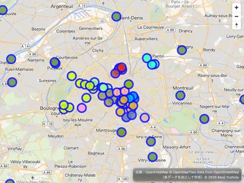
Create deck.gl layer using REST API
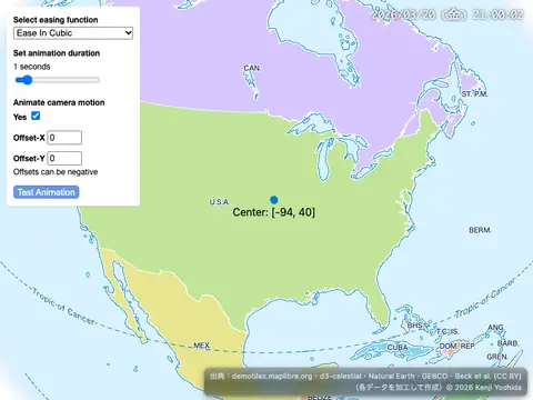
Customize camera animations
Customize the map transform constrain
Disable map rotation
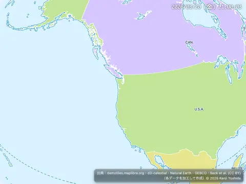
Disable scroll zoom
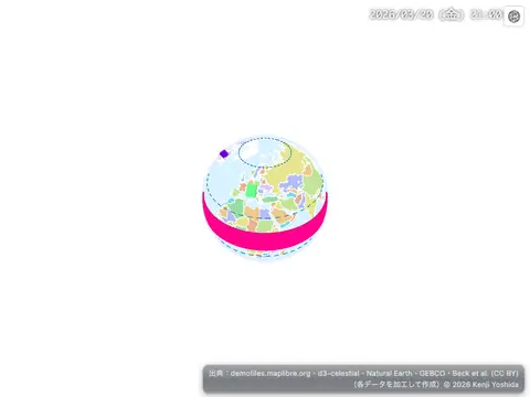
Display a globe with a fill extrusion layer
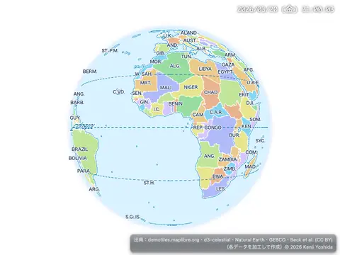
Display a globe with a vector map
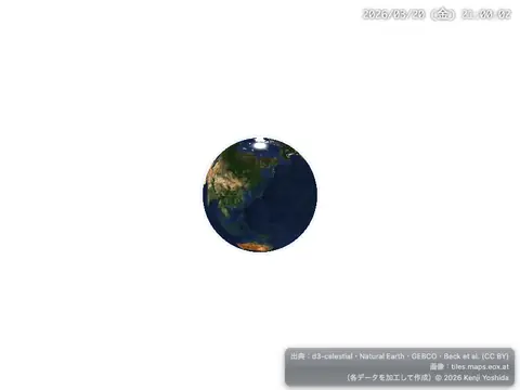
Display a globe with an atmosphere
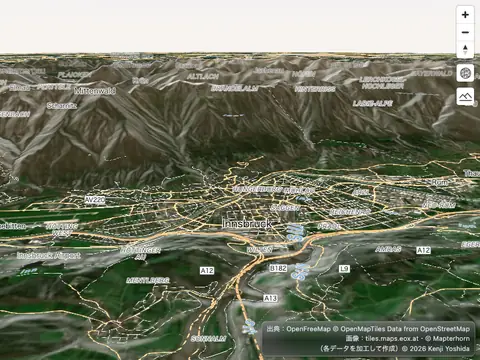
Display a hybrid satellite map with terrain elevation
Display a map with MLT
Display a map
Display a non-interactive map
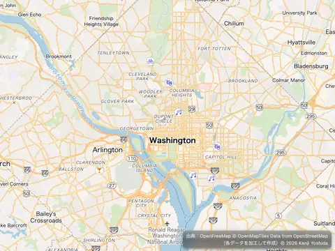
Display a popup on click
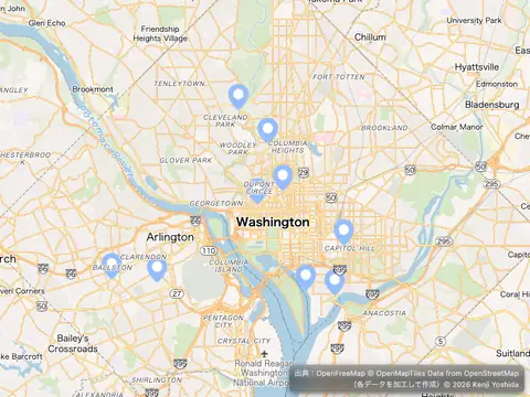
Display a popup on hover
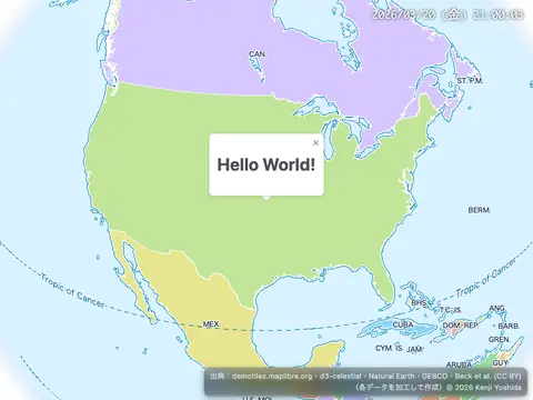
Display a popup
Display a remote SVG symbol
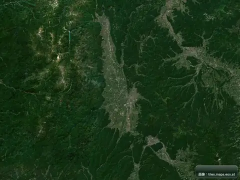
Display a satellite map
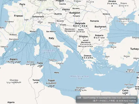
Display and style rich text labels
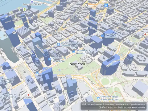
Display buildings in 3D
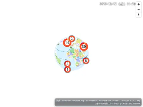
Display HTML clusters with custom properties
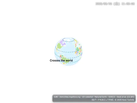
Display line that crosses 180th meridian
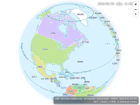
Display map navigation controls
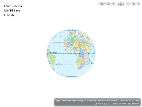
Display Performance Metrics
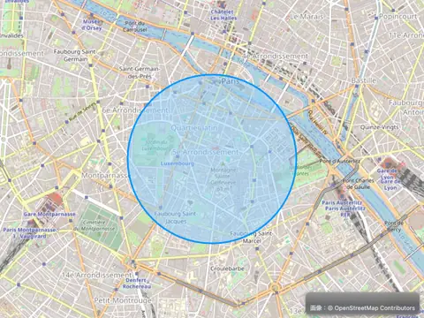
Draw a Circle
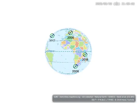
Draw GeoJSON points
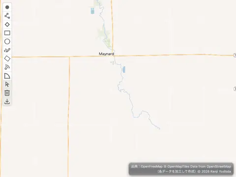
Draw geometries with terra-draw
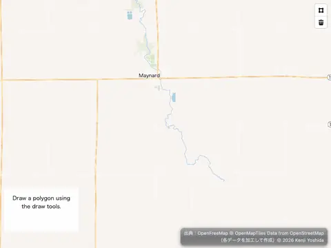
Draw polygon with mapbox-gl-draw
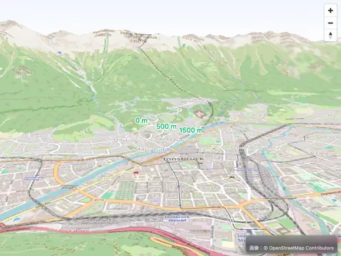
Elevate symbols above the terrain
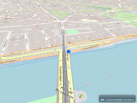
Enter a 360° photosphere
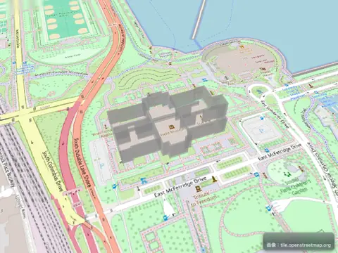
Extrude polygons for 3D indoor mapping
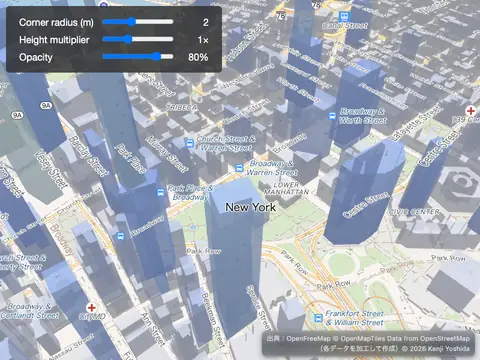
Fill extrusion rounded corners
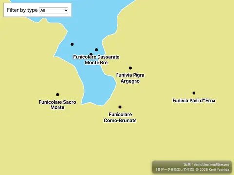
Filter layer symbols using global state
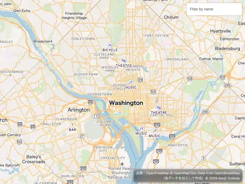
Filter symbols by text input
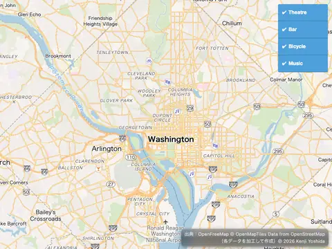
Filter symbols by toggling a list
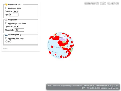
Filter within a Layer
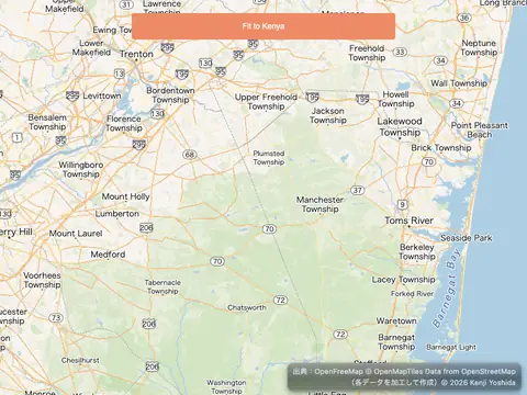
Fit a map to a bounding box
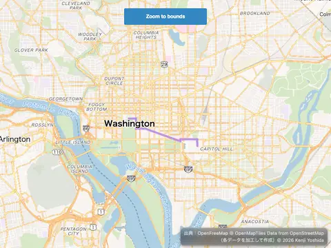
Fit to the bounds of a LineString
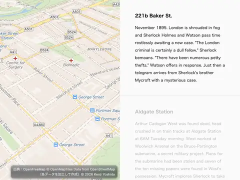
Fly to a location based on scroll position
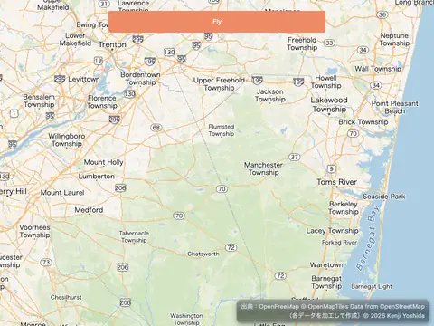
Fly to a location
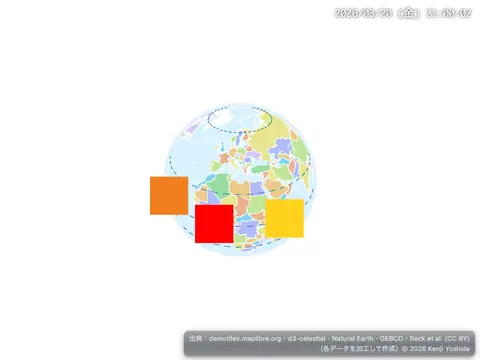
Generate and add a missing icon to the map
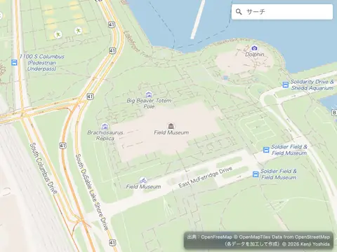
Geocode with Nominatim
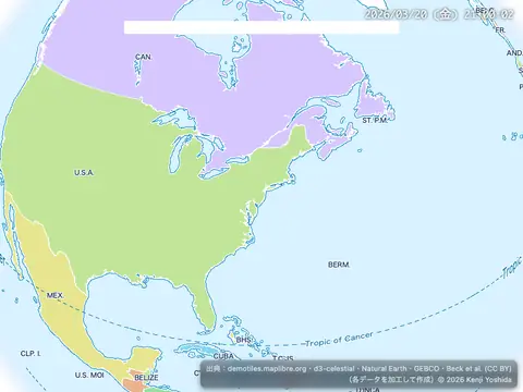
Get coordinates of the mouse pointer
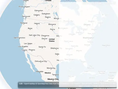
Get features under the mouse pointer
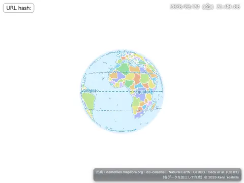
Hash routing
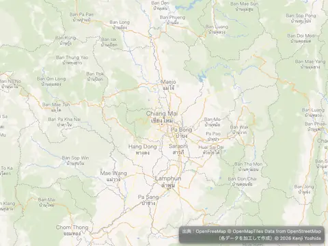
Jump to a series of locations
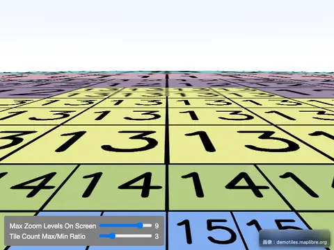
Level of Detail Control
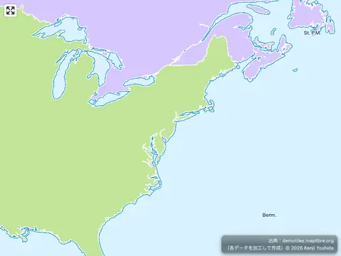
Locale switching
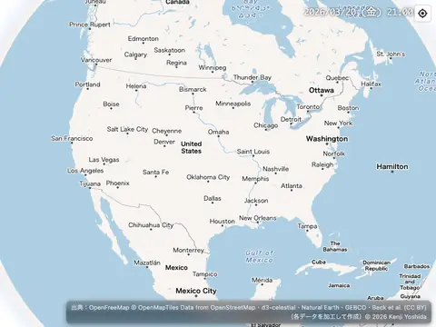
Locate the user
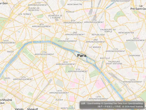
Measure distances
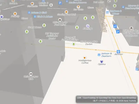
Navigate the map with game-like controls
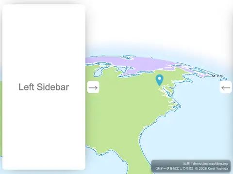
Offset the vanishing point using padding
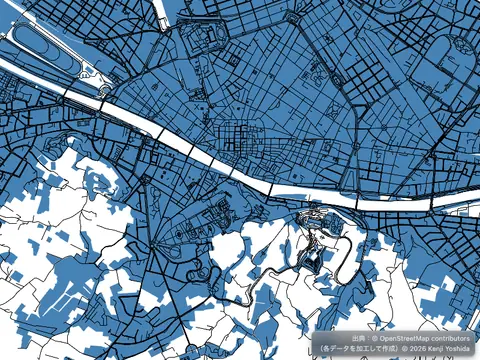
PMTiles source and protocol
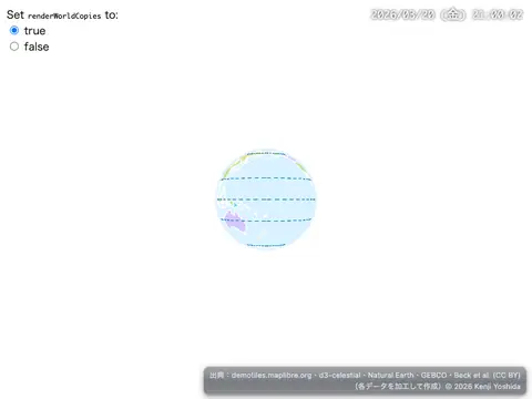
Render world copies
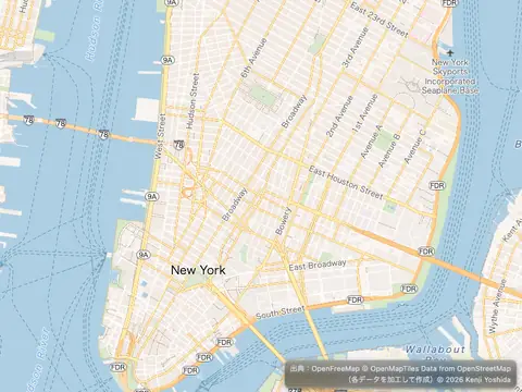
Restrict map panning to an area
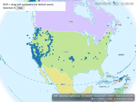
Select features with boxZoomEnd callback
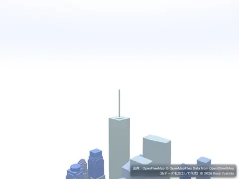
Set center point above ground
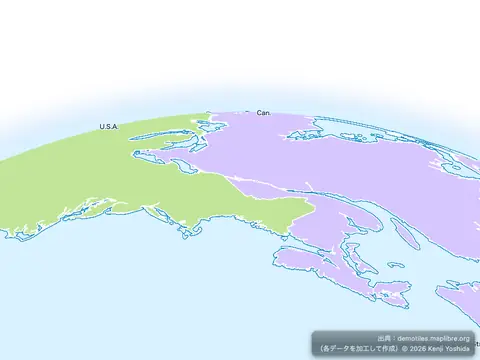
Set pitch and bearing
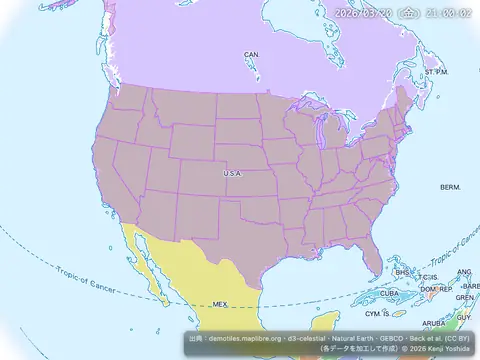
Show polygon information on click
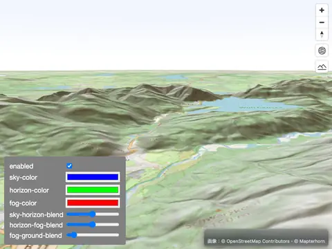
Sky, Fog, Terrain
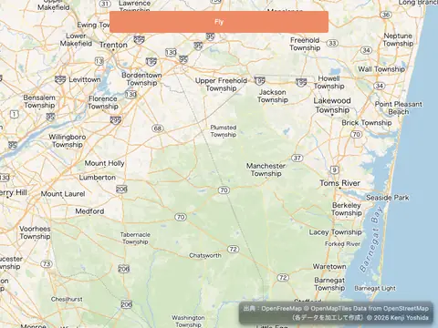
Slowly fly to a location
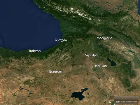
Style labels with font faces
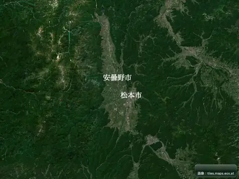
Style labels with local fonts
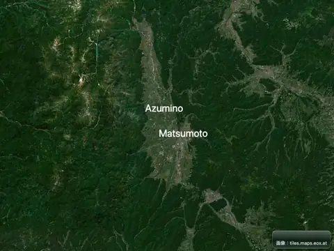
Style labels with Web fonts
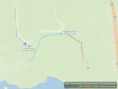
Style lines with a data-driven property
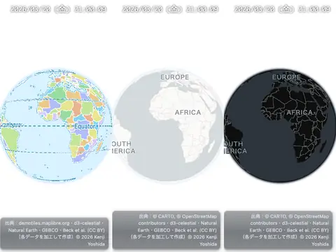
Sync movement of multiple maps
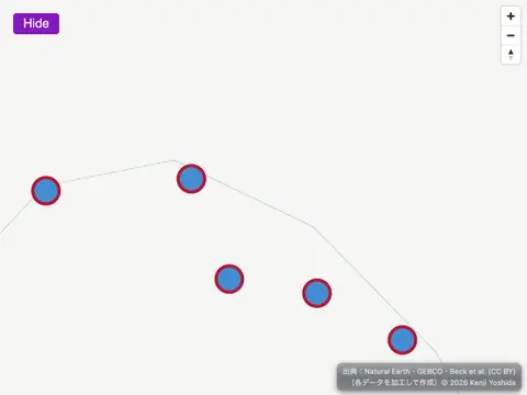
Toggle deck.gl layer
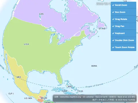
Toggle interactions
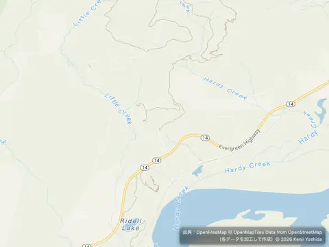
Update a feature in realtime
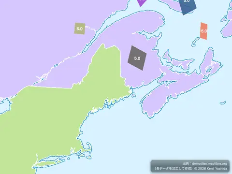
Update GeoJSON polygons
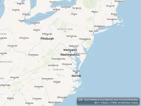
Use a fallback image
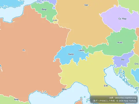
Use addProtocol to Transform Feature Properties
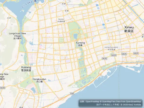
Use locally generated ideographs
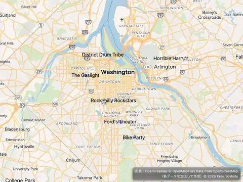
Variable label placement with offset
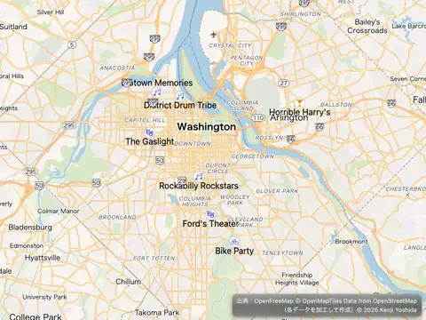
Variable label placement
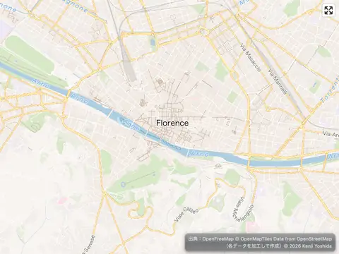
View a fullscreen map
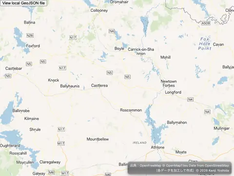
View local GeoJSON (experimental)
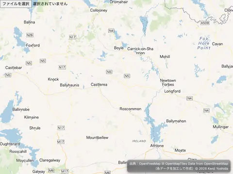
View local GeoJSON
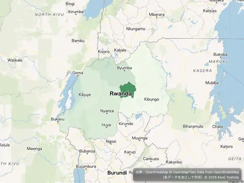
Visualize population density
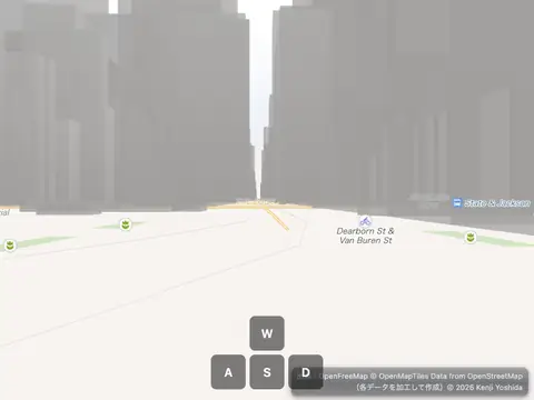
Walk around a map in first person